
Boundaries
Membership to Sovereign Limits includes access to our invaluable Boundary Briefs. These briefs provide a concise synopsis of every established international boundary in the World, both land and maritime. Each Boundary Brief includes a history of key events, relevant excerpts from primary source documents, and illustrative maps created by International Mapping to provide the user with a comprehensive overview of any boundary in the World. Sovereign Limits has already done the research, all you have to do is pick a boundary.
This page provides a sample of what our Boundary Briefs offer. Select a boundary below to see an excerpt from the boundary summary, as well as a custom map. The complete collection of Boundary Briefs is available to every Sovereign Limits licensee.
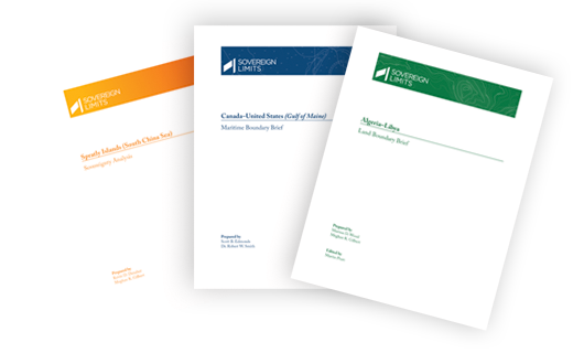
Interested? You’re in luck! The Algeria–Libya Land Boundary Brief
Atlas of International Maritime Boundaries
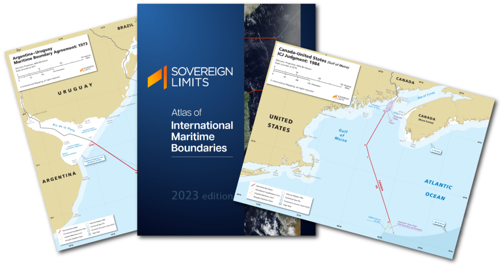
International Mapping has converted its extensive collection of maritime boundary maps into an interactive, digital atlas containing more than 245 full-color maps for every established maritime boundary in the world.
To learn more about the Atlas of International Maritime Boundaries,click here.
Showing 1–16 of 408 results

2022 Q4 October–December
$15.00
- report
2023 Q1 January-March
$15.00
- report
2023 Q2 April-June
$15.00

2023 Q3 July-September
$15.00
2023 Q4 October-December
$15.00

2024 Q1 January-March
$15.00

2024 Q2 April-June
$15.00
- report
2024 Q3 July-September
$0.00

Albania–Italy
$5.00

Algeria–Libya
$0.00

Algeria–Mali
$10.00

Algeria–Mauritania
$10.00

Algeria–Morocco
$15.00

Algeria–Niger
$10.00

Algeria–Tunisia
$5.00

Algeria–Tunisia
$15.00
Boundaries
Membership to Sovereign Limits includes access to our invaluable Boundary Briefs. These briefs provide a concise synopsis of every established international boundary in the World, both land and maritime. Each Boundary Brief includes a history of key events, relevant excerpts from primary source documents, and illustrative maps created by International Mapping to provide the user with a comprehensive overview of any boundary in the World. Sovereign Limits has already done the research, all you have to do is pick a boundary.
This page provides a sample of what our Boundary Briefs offer. Select a boundary below to see an excerpt from the boundary summary, as well as a custom map. The complete collection of Boundary Briefs is available to every Sovereign Limits licensee.
Interested? You’re in luck! The Algeria–Libya Land Boundary Brief is currently available for free as a sample!
Atlas of International Maritime Boundaries
International Mapping has converted its extensive collection of maritime boundary maps into an interactive, digital atlas containing more than 245 full-color maps for every established maritime boundary in the world.
To learn more about the Atlas of International Maritime Boundaries,click here.